
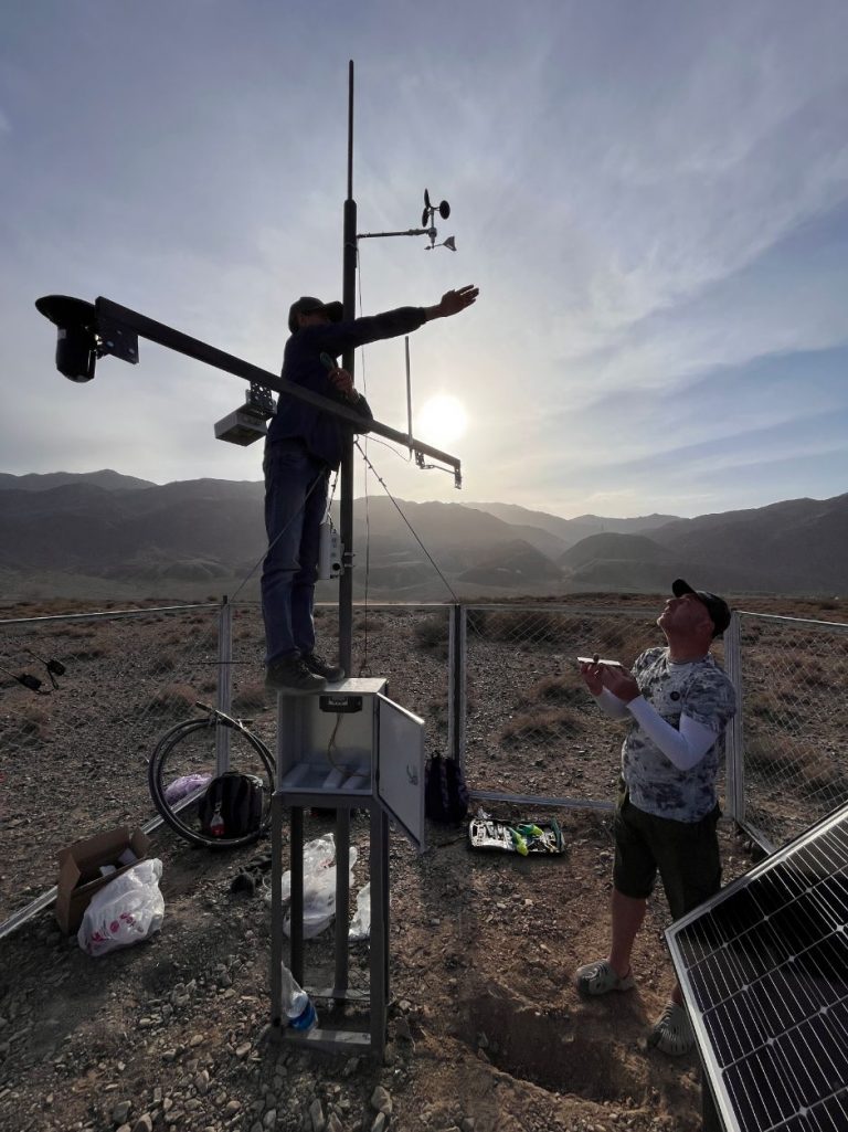
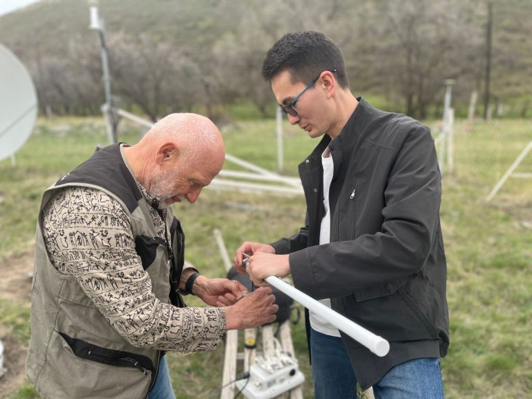
Ongoing maintenance ensure optimal performance of lora-enabled sensors
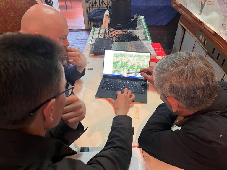
The ISOC Kyrgyz Chapter team has been actively engaging in routine maintenance visits to our pilot locations. Since the initial

The ISOC Kyrgyz Chapter team has been actively engaging in routine maintenance visits to our pilot locations. Since the initial
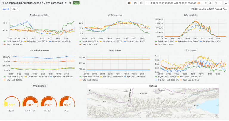
The team created beta version of the dashboard visualization of the project data collected from pilot locations. The dashboard represents
On May 19, 2023, the Internet Society (ISOC) Kyrgyz Chapter convened a meeting with the Institute of Water Problems under
The ISOC Kyrgyz Chapter team, in response to a request from the Ministry of Emergency Situations, has made a crucial
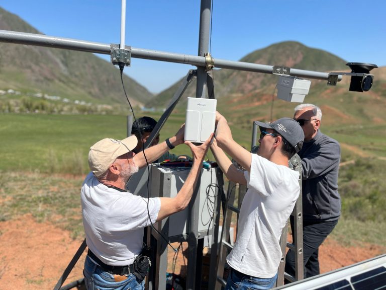
On April 27, 2023, a team comprising representatives from the ISOC Kyrgyz Chapter, ICTP, and CAIAG successfully installed and launched
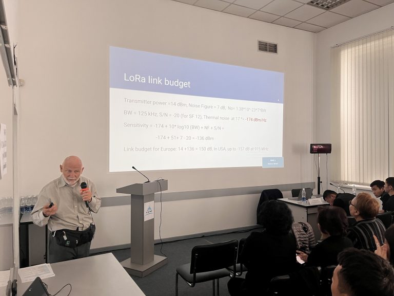
On April 25, 2023, the Internet Society Kyrgyz Chapter successfully hosted forum titled “Application of Innovative Technologies in Monitoring and
A significant stride has been made in the realm of disaster response and climate research in Kyrgyzstan, spearheaded by the
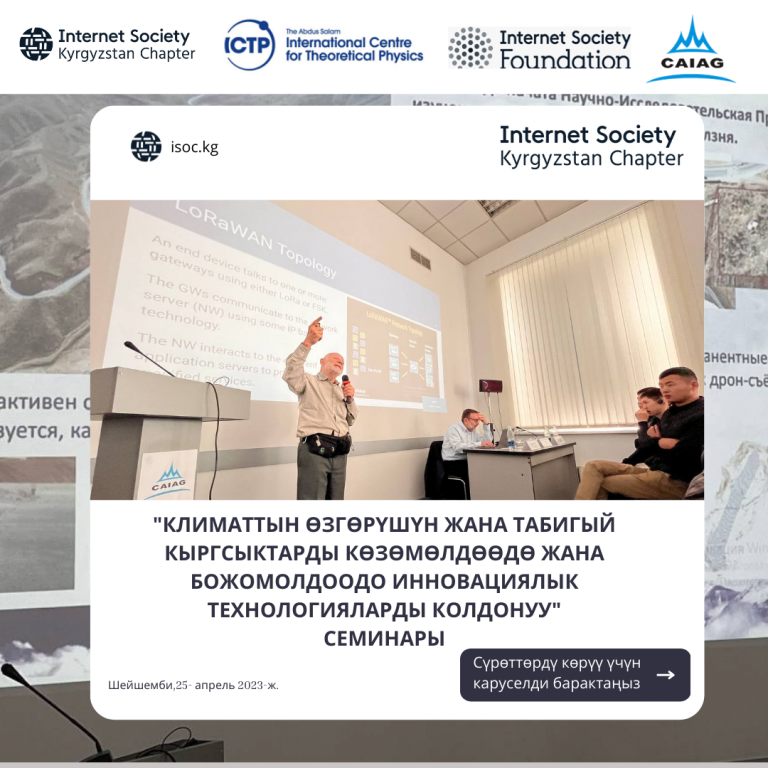
Previous Next A seminar on “Application of innovative technologies in monitoring and forecasting of climate change and natural disasters” was
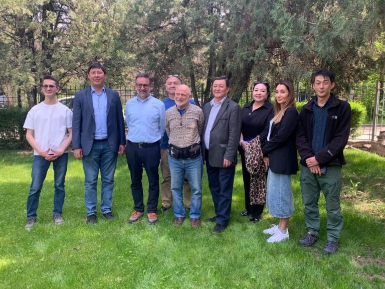
On April 24, 2023, a seminal roundtable discussion was hosted at the premises of the Central-Asian Institute for Applied Geosciences