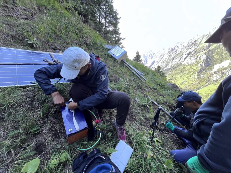
Полевые заметки о вызовах при установке шлюзов в горных районах
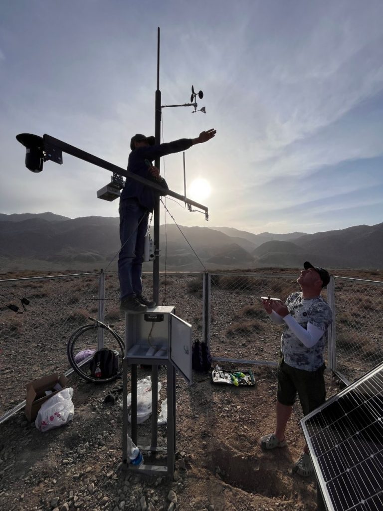
Climbing 700 meters with a 55° slope with solar panels, heavy batteries, and an IoT communication gateway strapped to our

Climbing 700 meters with a 55° slope with solar panels, heavy batteries, and an IoT communication gateway strapped to our
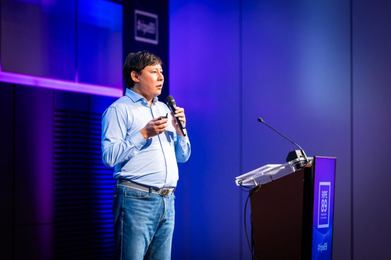
The RIPE 89 Meeting, held in Prague, brought together a vibrant mix of technology enthusiasts and industry experts to share
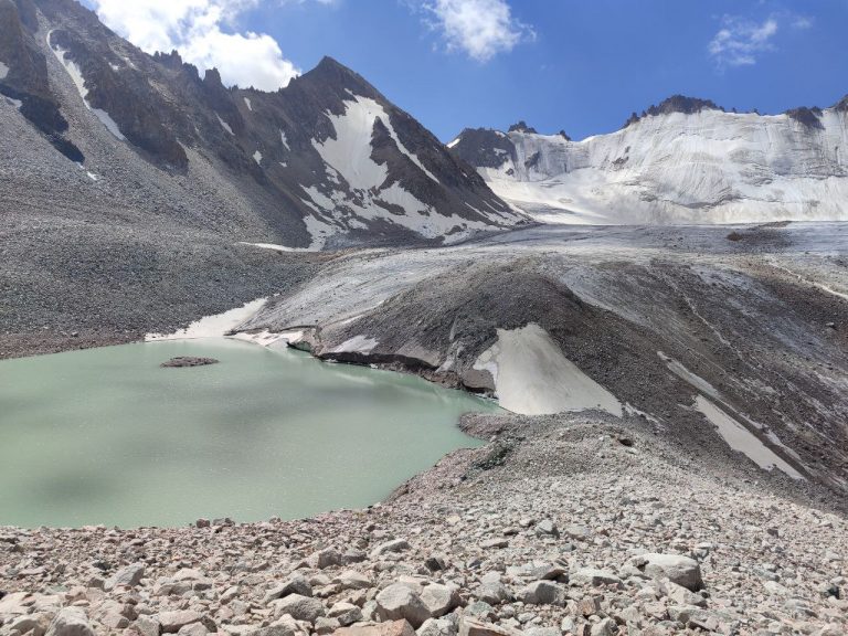
21 июля исследовательская группа ISOC отправилась в экспедицию к ледниковому озеру Адыгене, стратегически расположенному в 60 км к юго-юго-западу от
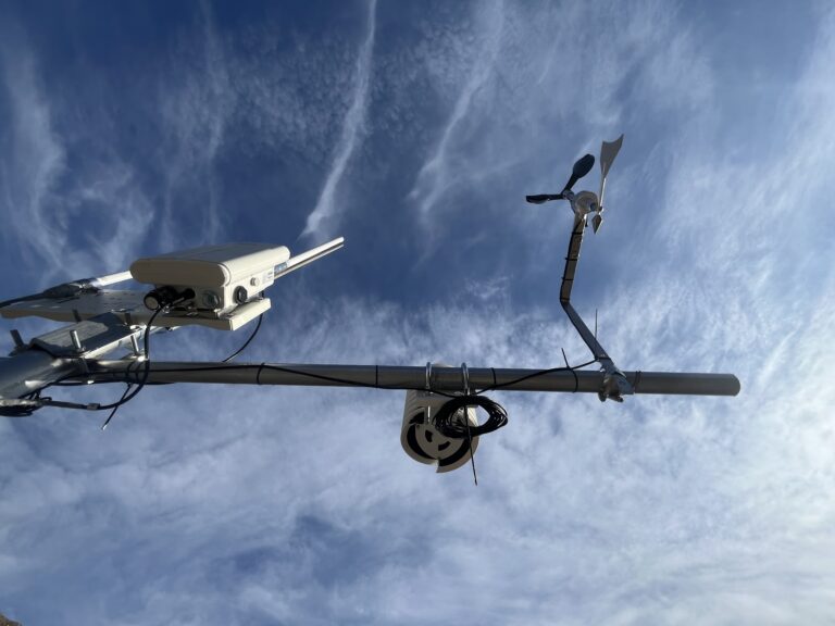
Команда Кыргызского отделения Айсок активно проводит плановые посещения пилотных объектов по техническому обслуживанию. С момента первоначальной установки датчиков с поддержкой
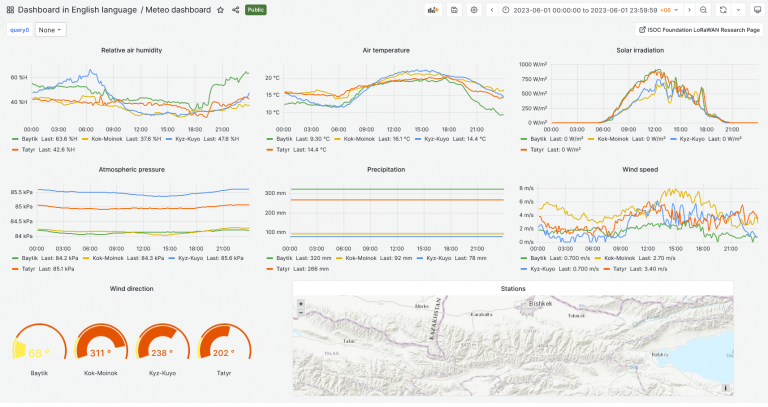
Команда создала бета-версию информационной панели для визуализации данных проекта, собранных из пилотных локаций. Текущие пилотные локации включают в себя: оползень
Команда Кыргызского отделения ISOC в ответ на запрос Министерства чрезвычайных ситуаций добилась важного прогресса в смягчении последствий стихийных бедствий и
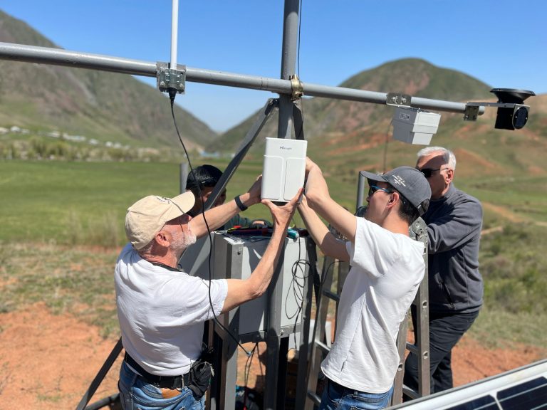
27 апреля 2023 года группа, состоящая из представителей кыргызского отделения Айсок, МЦТФ и ЦАИИЗ, успешно установила и запустила датчики с
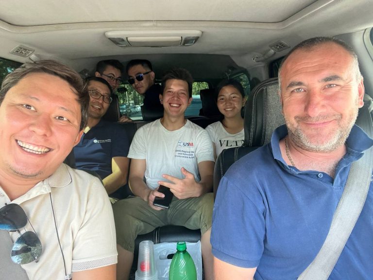
25 апреля 2023 года Кыргызское отделение Интернет Общества успешно провело форум «Применение инновационных технологий в мониторинге и прогнозировании изменения климата