Картирование покрытия LoRa в Кыргызстане
In a pioneering initiative, the Internet Society Kyrgyz Chapter has embarked on a groundbreaking project to test and map LoRa-enabled

In a pioneering initiative, the Internet Society Kyrgyz Chapter has embarked on a groundbreaking project to test and map LoRa-enabled
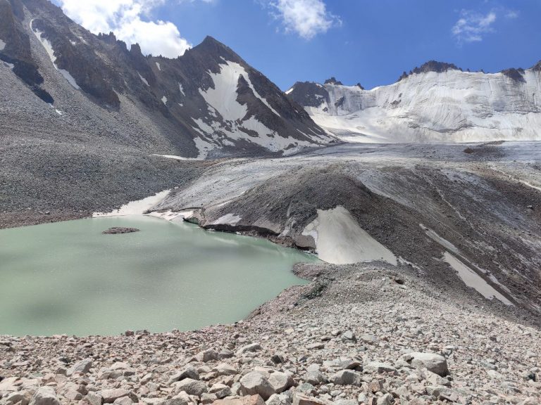
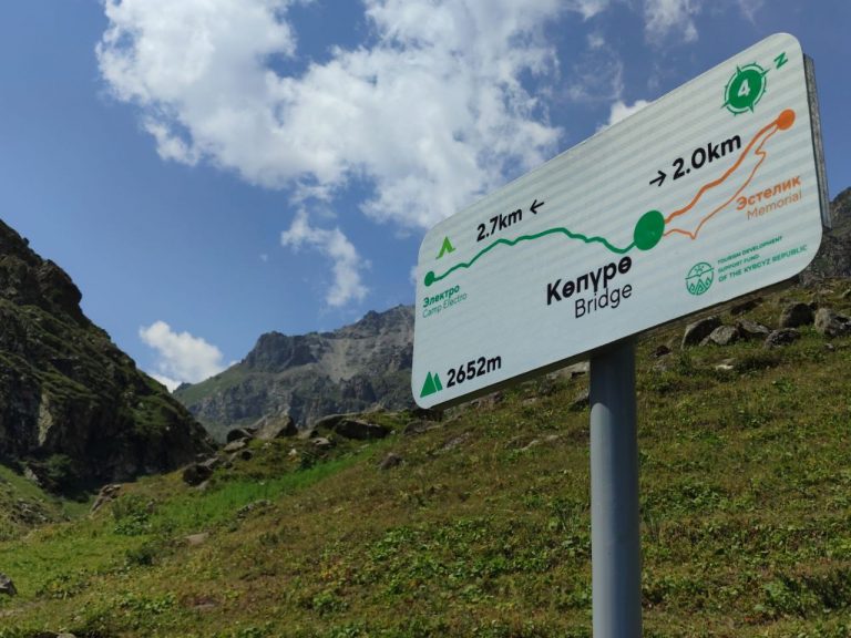
21 июля исследовательская группа ISOC отправилась в экспедицию к ледниковому озеру Адыгене, стратегически расположенному в 60 км к юго-юго-западу от
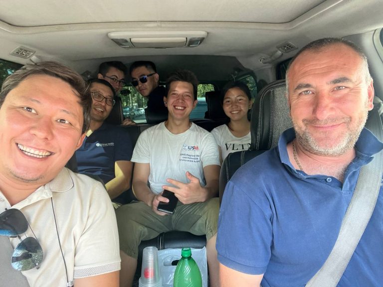
Команда Кыргызского отделения Айсок активно проводит плановые посещения пилотных объектов по техническому обслуживанию. С момента первоначальной установки датчиков с поддержкой
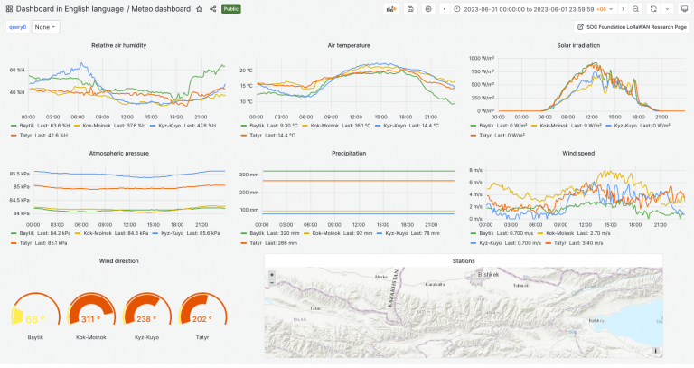
Команда создала бета-версию информационной панели для визуализации данных проекта, собранных из пилотных локаций. Текущие пилотные локации включают в себя: оползень