Завершены монтажные работы на пилотной площадке озера Адыгене
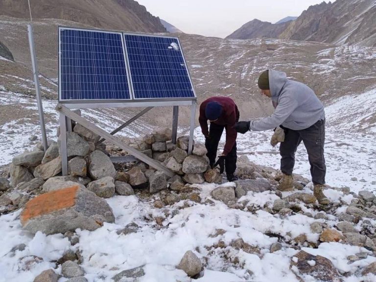
Анализ монтажных работ, проведенных в августе, и отзывы монтажной бригады показали, что предложенная схема расположения и структура не устойчива к

Анализ монтажных работ, проведенных в августе, и отзывы монтажной бригады показали, что предложенная схема расположения и структура не устойчива к
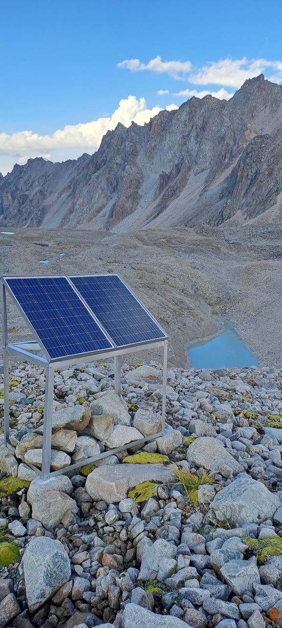
The construction team had built masts, photovoltaics on established locations on Adygene lake. A month ago, the joint research team
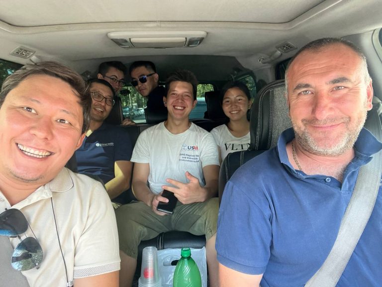
On August 11, 2023, ISOC Kyrgyzstan Chapter — Aziz Soltobaev and Talant Sultanov — teamed up with representatives from the
In a pioneering initiative, the Internet Society Kyrgyz Chapter has embarked on a groundbreaking project to test and map LoRa-enabled
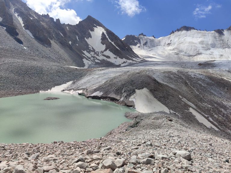
21 июля исследовательская группа ISOC отправилась в экспедицию к ледниковому озеру Адыгене, стратегически расположенному в 60 км к юго-юго-западу от
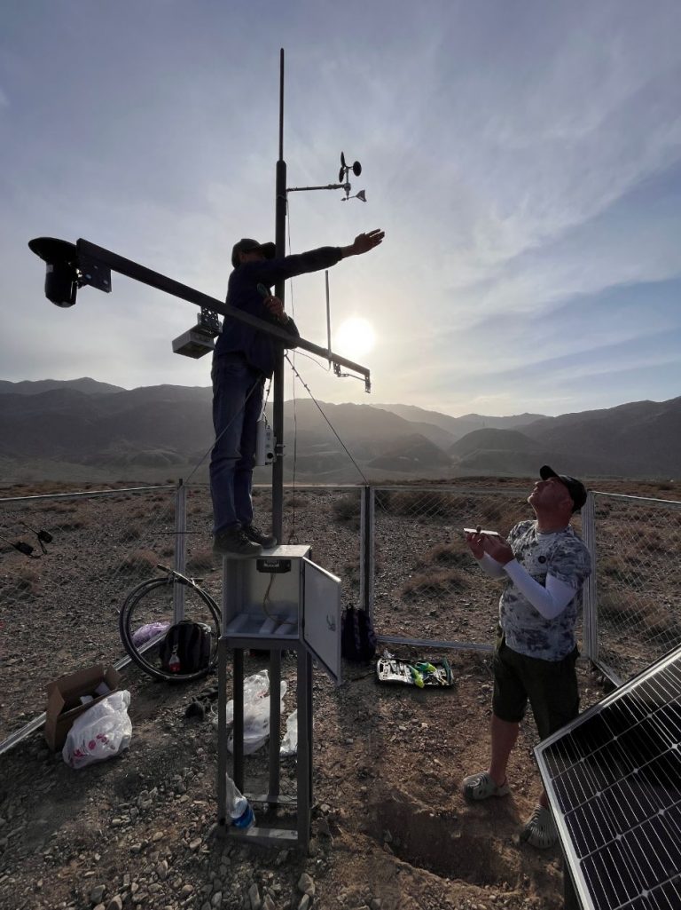
Команда Кыргызского отделения Айсок активно проводит плановые посещения пилотных объектов по техническому обслуживанию. С момента первоначальной установки датчиков с поддержкой
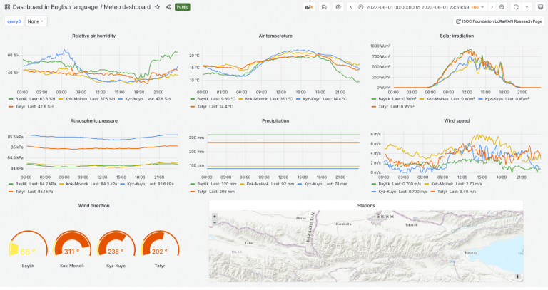
Команда создала бета-версию информационной панели для визуализации данных проекта, собранных из пилотных локаций. Текущие пилотные локации включают в себя: оползень
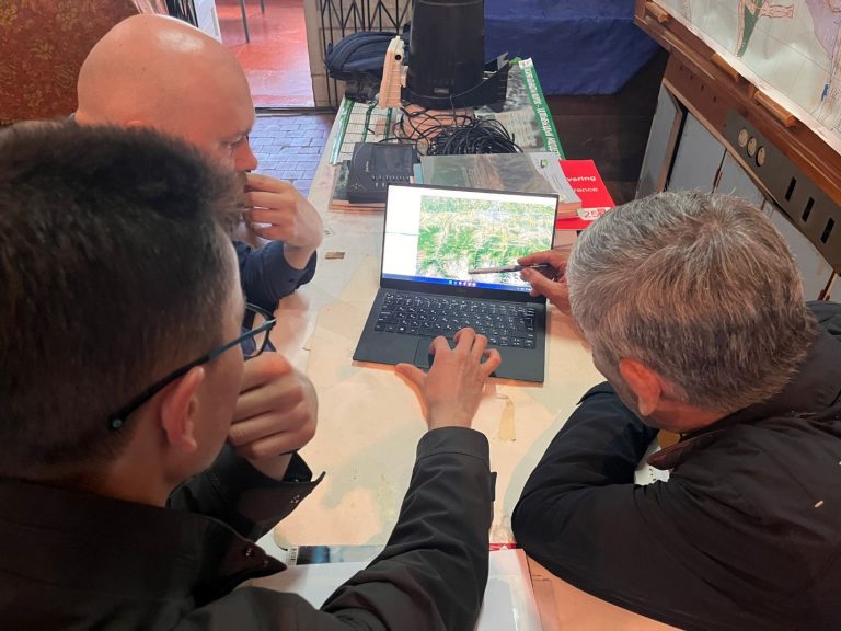
19 мая 2023 года Кыргызское отделение Интернет-общества (ISOC) провело встречу с Институтом водных проблем Академии наук Кыргызской Республики. Обсуждение вращалось
Команда Кыргызского отделения ISOC в ответ на запрос Министерства чрезвычайных ситуаций добилась важного прогресса в смягчении последствий стихийных бедствий и