
The initial deployment of a LoRa-enabled network to monitor natural disasters such as landslides and mudflows holds considerable promise. In response to positive feedback and a request from the Ministry of Emergency Situations, the ISOC team embarked on a journey to the southern region of Kyrgyzstan to assess potential pilot locations.
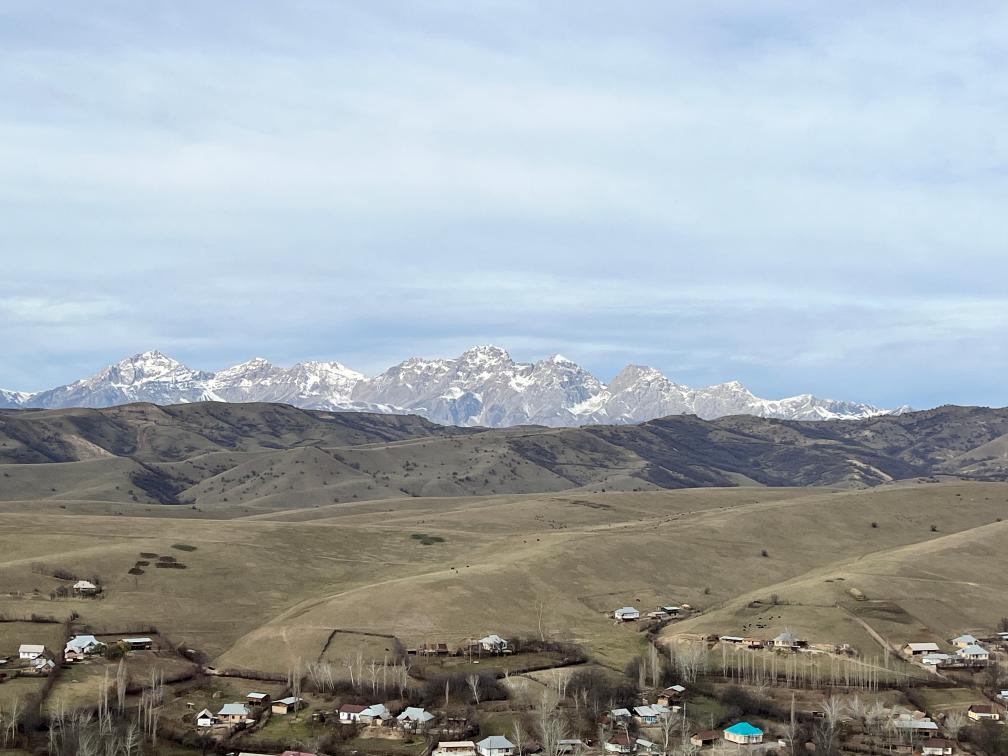
During the first weeks of December, the team visited two active landslides located in Jalal-Abad Oblasty of the republic. The first landslide is situated in Karamart (Kara-Mart), Suzak Rayon.
According to the Department of Monitoring of Natural Disasters under the Ministry of Emergency Situations, there is a high risk of landslide activation on the right bank of the river Kök-Art, in lateral valleys of Achy-Say, Karamart, and on the slopes between the Karamart, Urum-Bashy, and Kök-Art rivers.
The second location is a landslide near the village of Kichi-Ak-Jol in Suzak Rayon, along the strategic road connecting the region with the highway leading to Bishkek and Osh cities.
The reconnaissance was conducted using drones, topographic video, and photography. Initial contacts with local administration were established during this phase.
The gathered information will undergo thorough review and analysis, and a LoRa-enabled topology network will be proposed to effectively monitor and respond to these landslide-prone areas.